
|
|
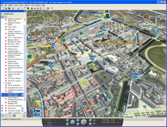 |
SpacEyes3D SpacEyes3D is a complete software suite for 3D geospatial applications. Everything you need - from 3D Landscapes' creation up to their webcasting - is offered at a very attractive price. - QuickBird fly-through Hong Kong Demos -
- SPOT-5 fly-through Hong Kong Demos -
- Landsat-7 fly-through Pearl River Delta Demos -
//Click here to view the Brochure// Request prices quotation and further information
|


