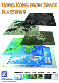
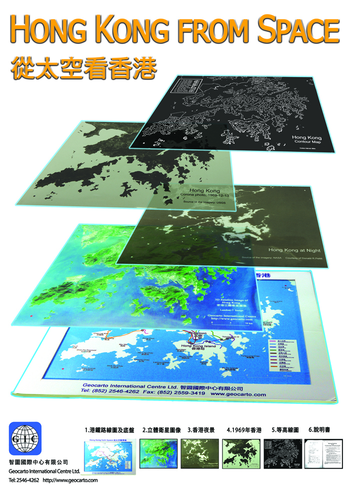
Study Kit - Knowing Hong Kong
This study kit provides innovative resources to enrich the study of local geography.
It includes the following unique items:
(1) A 3D satellite image of Hong Kong SAR generated from Landsat-7 satellite data collected in 2013
(2) A tray with a base map to show the MTR trunk lines
(3) 3 overlay transparencies as follows:
(a) A satellite photo of Hong Kong taken by Corona in 1969
(b)A night-light photo of Hong Kong captured from International Space Station in 2003
(c)A contour map of Hong Kong at 100 m interval.
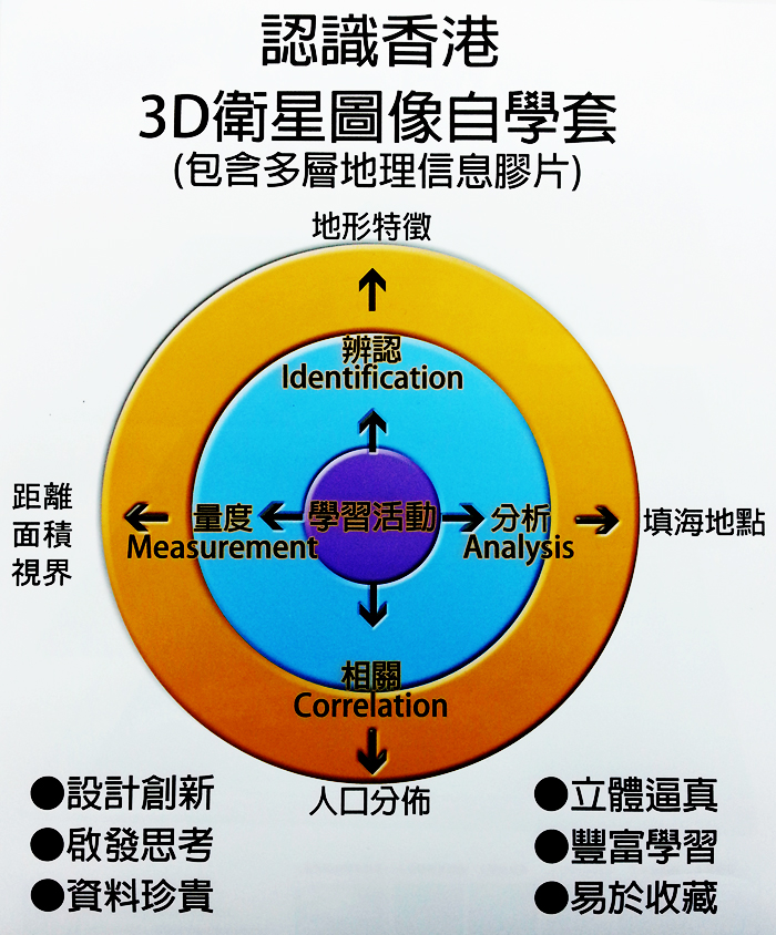
Some examples of study activities
(1) Identification activities
To identify physical features with reference to the 3D satellite image and the contour map, e.g. spur, valley, ridge, watershed, saddle, upland, lowland.
(2) Correlation activities
To locate the distribution of settlements/populated areas with reference to the night-light image, contour map, 3D satellite image, and MTR map.
(3) Analysis activities
To examine where and why the reclaimed land was made over the past 44 years with reference to the Corono photo and the 3D satellite image.
(4) Measurement activities
To determine intervisibility from cross-sections and to estimate approximate area of lowland below 100 m with reference to the contour map and the scale.
All the 3 transparencies can be marked and annotated using felt pens.
Price: US$8
|